High-performance Latitude Longitudes Meter For Professional Grade Equipment Robust Construction SW-510A
- Pre-Order Available (Estimated ±15 Day Delivery)
- 7 day unit replacement guarantee(Video Unboxing Required)
- Including shipping costs, sent by Supplyinx.com
- Pick up at a supplyinx.com collection point is possible
- 24/7Customer service
Description
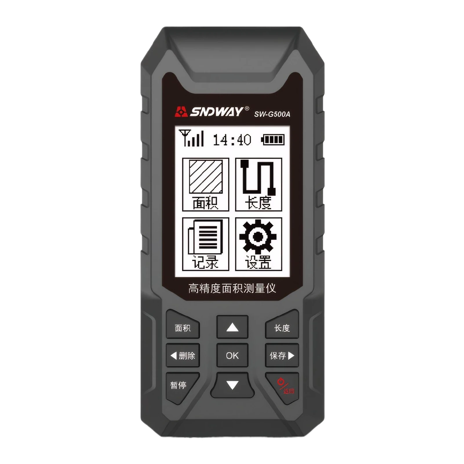
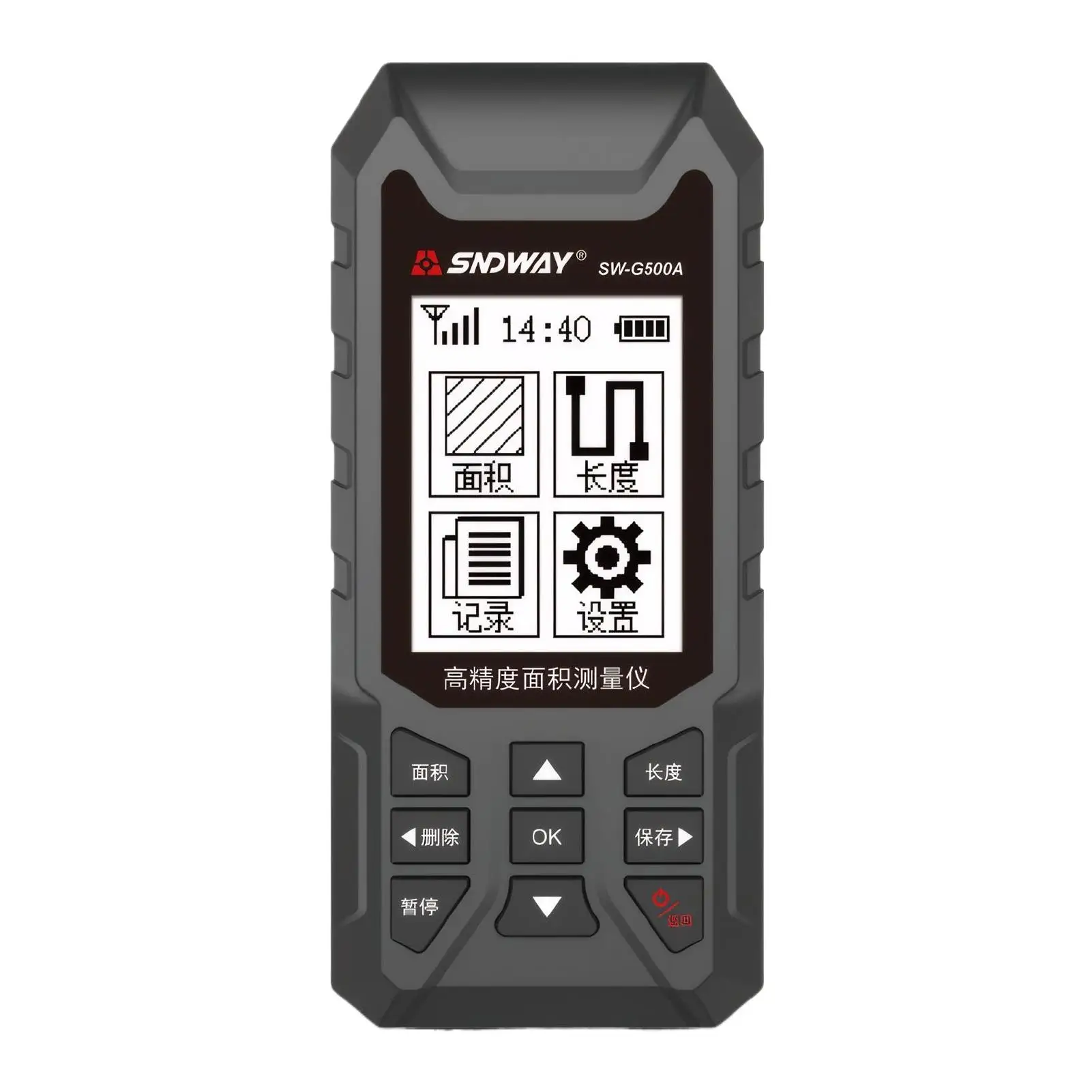
The SW-510A is a high-performance GPS surveying instrument designed for professional-grade applications requiring precise latitude and longitude measurements. Its robust construction ensures durability in challenging field conditions, making it suitable for various surveying tasks.
🔍 Key Features
-
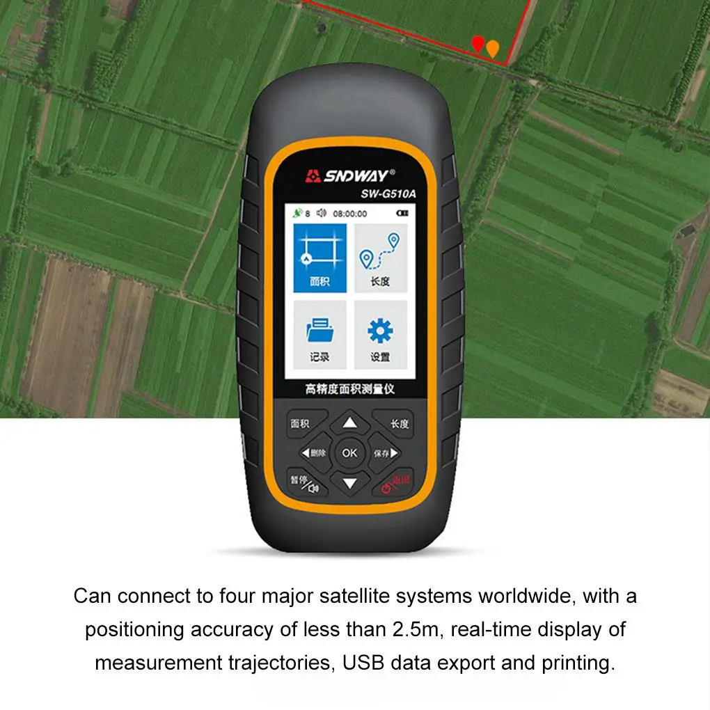
High-Precision GPS Technology: Utilizes advanced GPS technology to provide accurate latitude and longitude measurements, essential for detailed surveying projects.
-
Robust Construction: Built to withstand challenging field conditions, ensuring durability and reliability during operations.
-
User-Friendly Interface: Equipped with an intuitive interface, facilitating ease of use for surveyors.
-
Versatile Applications: Ideal for land surveying, construction projects, and other geospatial tasks requiring precise location data.
🛠️ Technical Specifications
-
Measurement Accuracy: Provides high-precision measurements, suitable for professional surveying standards.
-
Environmental Resistance: Designed to operate effectively in various environmental conditions, offering protection against dust and water ingress.
-
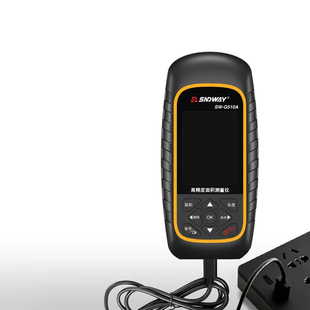
Power Supply: Operates on rechargeable batteries, ensuring extended use in the field without frequent recharging.
-
Connectivity: Supports data transfer via USB or Bluetooth, allowing for seamless integration with other surveying equipment and software.
📦 Included Accessories
-
SW-510A GPS Unit: The main device for capturing GPS data.
-
Antenna: High-sensitivity antenna for improved signal reception.
-
Tripod: Stable support for setting up the GPS unit during measurements.
-
Carrying Case: Protective case for safe transportation and storage of the equipment.
-
User Manual: Comprehensive guide for setup, operation, and maintenance.
📌 Applications
-
Land Surveying: Accurate mapping and boundary definition for property assessments.
-
Construction Projects: Precise location data for site planning and layout.
-
Geospatial Data Collection: Gathering of spatial information for environmental studies and urban planning.fs.usda.gov
-
Agricultural Planning: Mapping of fields for irrigation systems and crop management.
✅ Summary
The SW-510A GPS surveying instrument offers a combination of high-precision measurements and durable construction, making it a reliable choice for professionals in the surveying industry. Its user-friendly interface and versatile applications ensure that it meets the demands of various surveying tasks.


Related products


NT-023 Multi-functional Double Laser Red beam surveying instrument Electronic Theodolite


JUWEI17-100 Wide dovetail groove astronomical telescopes harmonic equatorial instrument compatible with theodolites


DEKO 4D 16 Lines Self-Leveling Laser Level 360 Horizontal and Vertical Cross Line Green Laser Beam with Tripod Power Tools


Reviews
There are no reviews yet.