


Hi-target V30 Plus GNSS RTK System base and rover 800+ Channels GPS GLONASS
- Pre-Order Available (Estimated ±15 Day Delivery)
- 7 day unit replacement guarantee(Video Unboxing Required)
- Including shipping costs, sent by Supplyinx.com
- Pick up at a supplyinx.com collection point is possible
- 24/7Customer service
Description
Hi-target V30 Plus GNSS RTK System Base and Rover 800+ Channels GPS GLONASS
The Hi-target V30 Plus GNSS RTK System is a high-performance surveying tool designed for precise positioning and geospatial applications. With 800+ channels supporting both GPS and GLONASS satellites, this system ensures maximum satellite connectivity for high-accuracy measurements in real-time kinematic (RTK) mode. The V30 Plus system is designed for versatile fieldwork, offering both base and rover units to meet the needs of demanding surveying, mapping, and engineering projects.
Key Features
-
800+ Channels
Supports over 800 channels, ensuring maximum satellite coverage and high positioning accuracy. This includes support for both GPS and GLONASS constellations. -
Dual Satellite Systems
The system uses dual satellite systems (GPS and GLONASS) to improve signal reliability, accuracy, and availability in challenging environments. -
Real-Time Kinematic (RTK)
The RTK technology ensures real-time accuracy in measurements, making the system ideal for high-precision surveying tasks that require sub-centimeter level precision. -
Base and Rover Units
The Hi-target V30 Plus system comes with base and rover units, offering flexibility and efficiency in fieldwork. The rover is used to collect data, while the base unit provides correction signals for real-time adjustments. -
Advanced Software Integration
The system integrates seamlessly with surveying software, allowing for easy data collection, processing, and analysis, ensuring efficient workflows and precise results. -
Robust Design
Built to withstand harsh field conditions, the V30 Plus is designed to operate in challenging environments, from urban canyons to dense forestry, ensuring reliable performance in diverse settings.
Technical Specifications
-
Satellite Systems Supported: GPS and GLONASS
-
Channels: 800+ channels for superior satellite tracking and coverage
-
Positioning Technology: Real-Time Kinematic (RTK)
-
Accuracy: Centimeter-level precision
-
Base Unit: Provides correction signals for real-time data adjustments
-
Rover Unit: Collects position data in the field with high precision
-
Operating Temperature: Wide temperature range for operation in extreme conditions
-
Battery Life: Long-lasting battery for extended fieldwork
Applications
-
Land Surveying: Ideal for high-accuracy measurements required for boundary surveys, topographic mapping, and property development projects.
-
Construction & Engineering: Essential for site planning, earthworks, and infrastructure development, providing precision for alignments and grade control.
-
Geospatial Mapping: Used in geospatial data collection, mapping projects, and GIS applications, ensuring accurate data for surveying and cartography.
-
Mining and Agriculture: Excellent for mining exploration, precision agriculture, and land monitoring, offering reliable data for terrain mapping and agricultural assessments.
Summary
The Hi-target V30 Plus GNSS RTK System is a high-precision, dual-satellite system that provides 800+ channels of GPS and GLONASS support for reliable, real-time kinematic (RTK) positioning. The system comes with base and rover units, making it ideal for surveying, mapping, construction, and engineering applications. Built to perform in challenging field conditions, it offers sub-centimeter accuracy and seamless software integration, ensuring efficiency and precision in all your geospatial tasks.
 V30 Plus GNSS RTK System
With its built-in multi-constellation GNSS RTK engine, smaller dimension, and industrial-grade compact design,
V30Plus provides a flexible GNSS work solution.
It also integrates with the Web UI, WIFI, Bluetooth and 4G module to make data management and transmission
more convenient and faster.

Multi-constellation GNSS engine
The heart of the device provides reliable results in harsh environments with its unique GNSS positioning algorithm. And supports a wide range of satellite tracking signals. It also reduces the multipath effect influence.
 Data communication
It has a long transmission distance and good electromagnetic compatibility, can compatible with various communication protocols. And perfectly compatible with a variety of CORS systems.
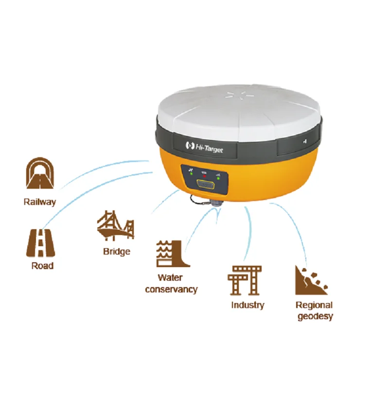
Smart application
Road
Railway
Bridge
Water conservancy
Industry
Regional geodesy

Related products


New 7×50 Marine Nitrogen Filled Waterproof and Fogproof Floating Rangefinder Binoculars with Compass


Reviews
There are no reviews yet.