


Total Station STS-722L8L surveying equipment 1″ accuracy Non-prism rangefinder engineering measuring instrument
- Pre-Order Available (Estimated ±15 Day Delivery)
- 7 day unit replacement guarantee(Video Unboxing Required)
- Including shipping costs, sent by Supplyinx.com
- Pick up at a supplyinx.com collection point is possible
- 24/7Customer service
Description
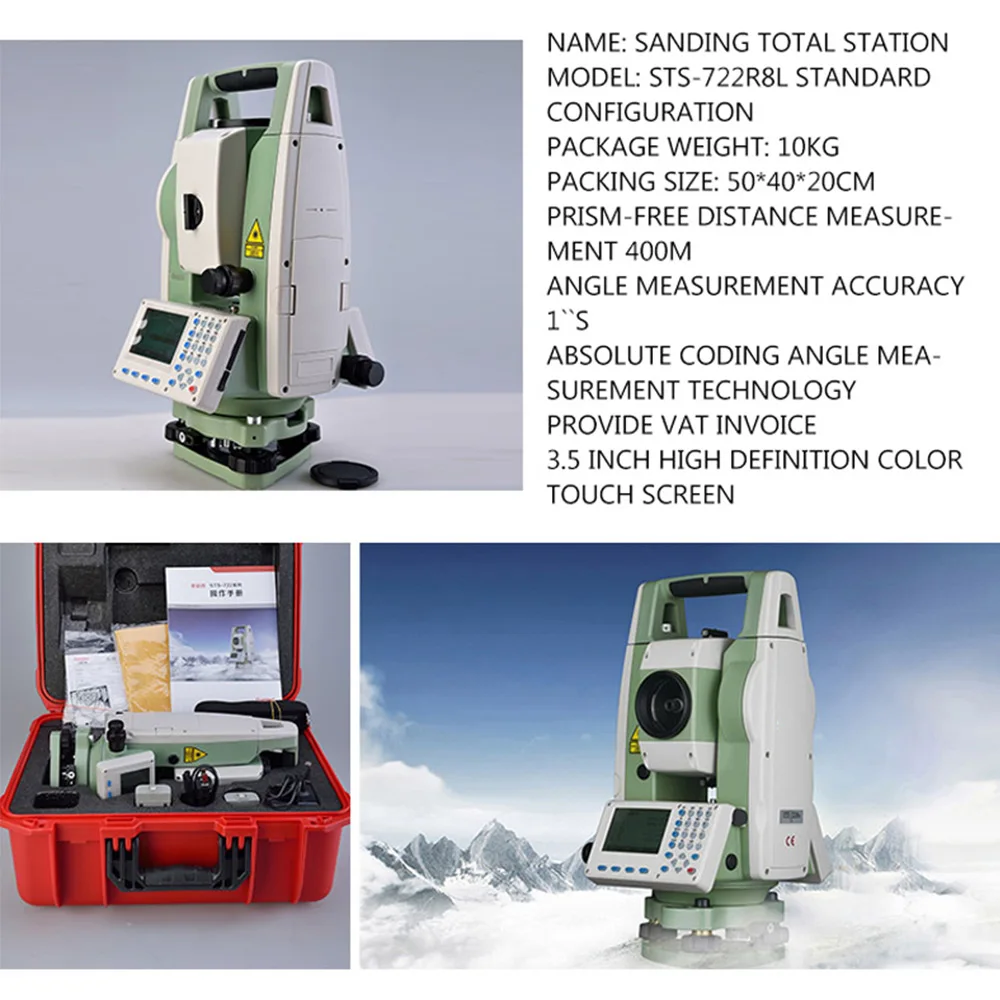
The Sanding STS-722L8L Total Station is a high-precision surveying instrument designed for engineering measurements. It offers a 1″ angular accuracy and features a non-prism rangefinder, making it suitable for various surveying applications.
🔍 Key Features
-
1″ Angular Accuracy: Ensures precise angle measurements, crucial for detailed surveying tasks
-
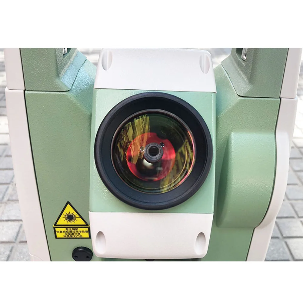
Non-Prism Rangefinder: Allows for reflectorless distance measurements up to 600 meters, enhancing versatility in fieldwork.
-
Single Prism Range: Capable of measuring distances up to 5000 meters with a single prism, ideal for long-distance surveying
-
Ranging Accuracy: Provides high accuracy with a measurement error of ±(2mm + 2ppm × D), where D is the distance in meters
-
Dual-Axis Compensation: Features a biaxial liquid photoelectric electronic compensator, automatically correcting horizontal and vertical angles for improved precision
-
IP55 Protection: Designed with an IP55-rated body, offering resistance against dust and water, suitable for various environmental conditions
-
Large Memory Capacity: Equipped with 50MB internal memory and supports up to 32GB via SD card, allowing storage of approximately 400,000 points.
-
Multiple Communication Ports: Includes SD card and USB ports for convenient data transfer
-
User-Friendly Interface: Features a large screen with 8 rows of data display and large buttons for easy data entry and viewing
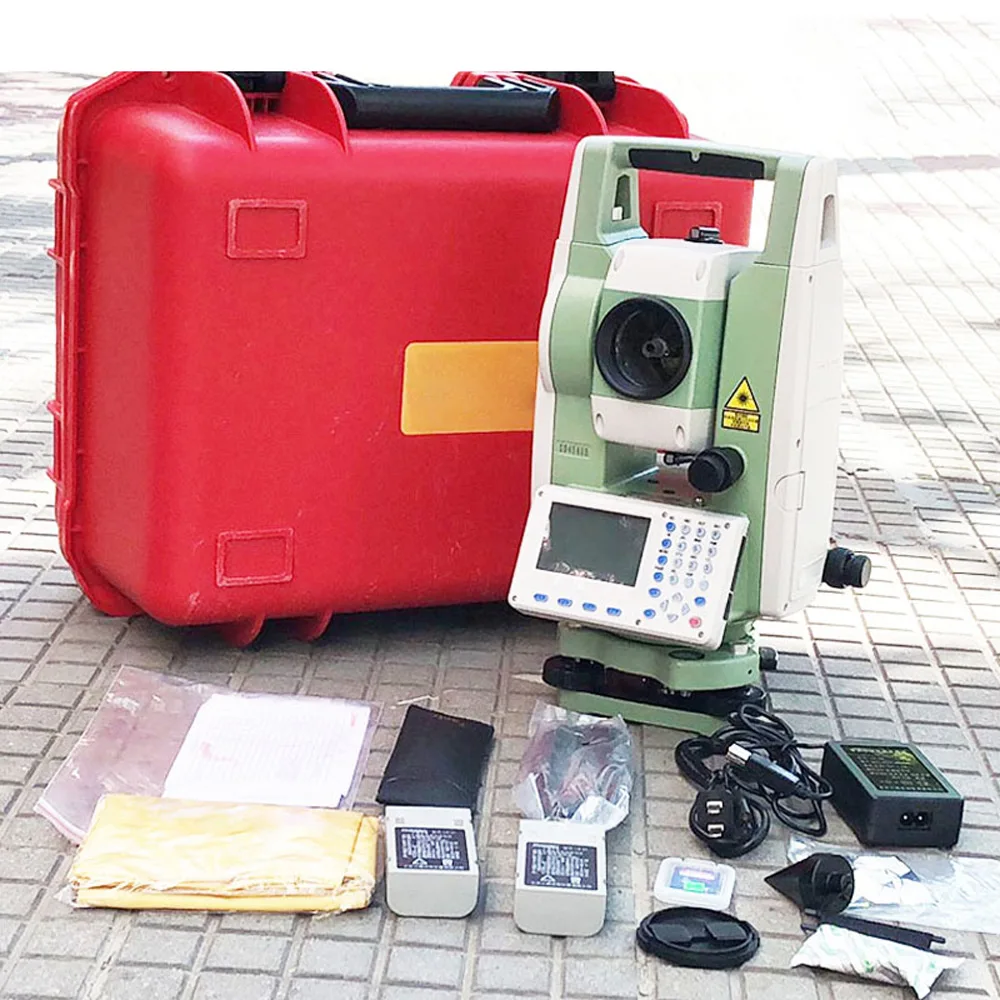
📦 Package Contents
-
STS-722L8L Total Station: The main instrument unit.
-
Rechargeable Lithium Battery: Provides power for extended fieldwork.
-
Charger: For recharging the battery.surveyinginstrument.en.made-in-china.com+5xpertsurveyequipment.com+5a1surveyequipment.net+5
-
Tribrach: For precise leveling of the instrument.
-
Carrying Case: For safe transportation and storage.
-
User Manual: Provides instructions for setup and operation.
⚙️ Technical Specifications
| Feature | Specification |
|---|---|
| Angular Accuracy | 1″ |
| Non-Prism Range | Up to 600m |
| Single Prism Range | Up to 5000m |
| Ranging Accuracy | ±(2mm + 2ppm × D) |
| Compensator | Biaxial liquid photoelectric |
| Protection Rating | IP55 |
| Memory Capacity | 50MB internal + up to 32GB SD card |
| Communication Ports | SD card, USB |
| Display | 8-line large screen |
| Battery Type | Rechargeable lithium |
| Operating Time | Approximately 10 hours |
🛠️ Applications
-
Construction Layout: Ensures accurate placement of structures and utilities.
-
Topographic Surveying: Captures detailed terrain features for mapping and analysis.
-
Road and Bridge Engineering: Facilitates precise measurements for infrastructure projects.
-
Land Development: Assists in plotting and subdividing land for various uses.
-
Mining Surveying: Supports measurements in mining operations for planning and safety.


Related products


High Precision Optical Digital Collimator for Total Station Theodolite Auto Level Survey Instrument F550-1


32X DCJ-660 Laser Vertical Alignment Instrument Red Line Optical Surveying Electronic Vertical Instrument Laser Plummet


